Universitat d'Alacant / Universidad de Alicante

Juan M. Lopez-Sanchez Photo


 Introduction  Publications

 Education  Research

 Teaching  Interesting Links

 Gallery

Versión en españolEnglish Version


Introduction

Juan M. Lopez-Sanchez is Ph.D. in Telecommunication Engineering.

Currently, he is a Full Professor in Signal Theory and Communications at the Department of Physics, System Engineering and Signal Theory of the University of Alicante.

His research activities are carried out at the Signals, Systems and Telecommunication Group (SST).

Since 2007 he is part of the University Institute for Computing Research (IUII).

From 2006 to 2012 he was the Chair of the Spanish Chapter of the IEEE Geoscience and Remote Sensing Society.

PROFILES:

CONTACT:


Address:
DFISTS, Universidad de Alicante
P. O. Box 99
03080 Alicante, Spain

Phone number: +34 965909597
Fax: +34 965909750
E-mail: Juanma.Lopez@ua.es


Education

  • Ph.D. in Telecommunication Engineering at the Polytechnical University of Valencia in 2000

  •  
  • Telecommunication Engineer at the Polytechnical University of Valencia in 1996


Teaching

  • Course 1999/2000:

    • Circuit Analysis, Tec. Eng. Telecommunication (Sound and Image)

  • Course 2000/2001:

    • Television, Tec. Eng. Telecommunication (Sound and Image)
    • Radar. Fundamentals and application to remote sensing, Ph. D. Course
    • Electromagnetic models with application to microwave remote sensing, Ph. D. Research

  • Course 2001/2002 to 2010/2011:

    • Television, Tec. Eng. Telecommunication (Sound and Image)
    • Circuit Analysis, Tec. Eng. Telecommunication (Sound and Image)
    • Radar. Fundamentals and application to remote sensing, Ph. D. Course
    • Microwave remote sensing, Ph. D. Research

  • From course 2011/2012:

    • Communication Theory, Degree in Sound and Image Engineering in Telecommunication
    • Circuit Analysis, Degree in Sound and Image Engineering in Telecommunication


    Research

    • Final Year Project: "Analysis of Two-Dimensional Multiple Scattering Problems by Spectral Techniques" 

    •  
    • Ph.D. Thesis: "Analysis and Estimation of Biophysical Parameters of Vegetation by Radar Polarimetry" (5.5 MB)
      Download it from the Virtual Library "Miguel de Cervantes"
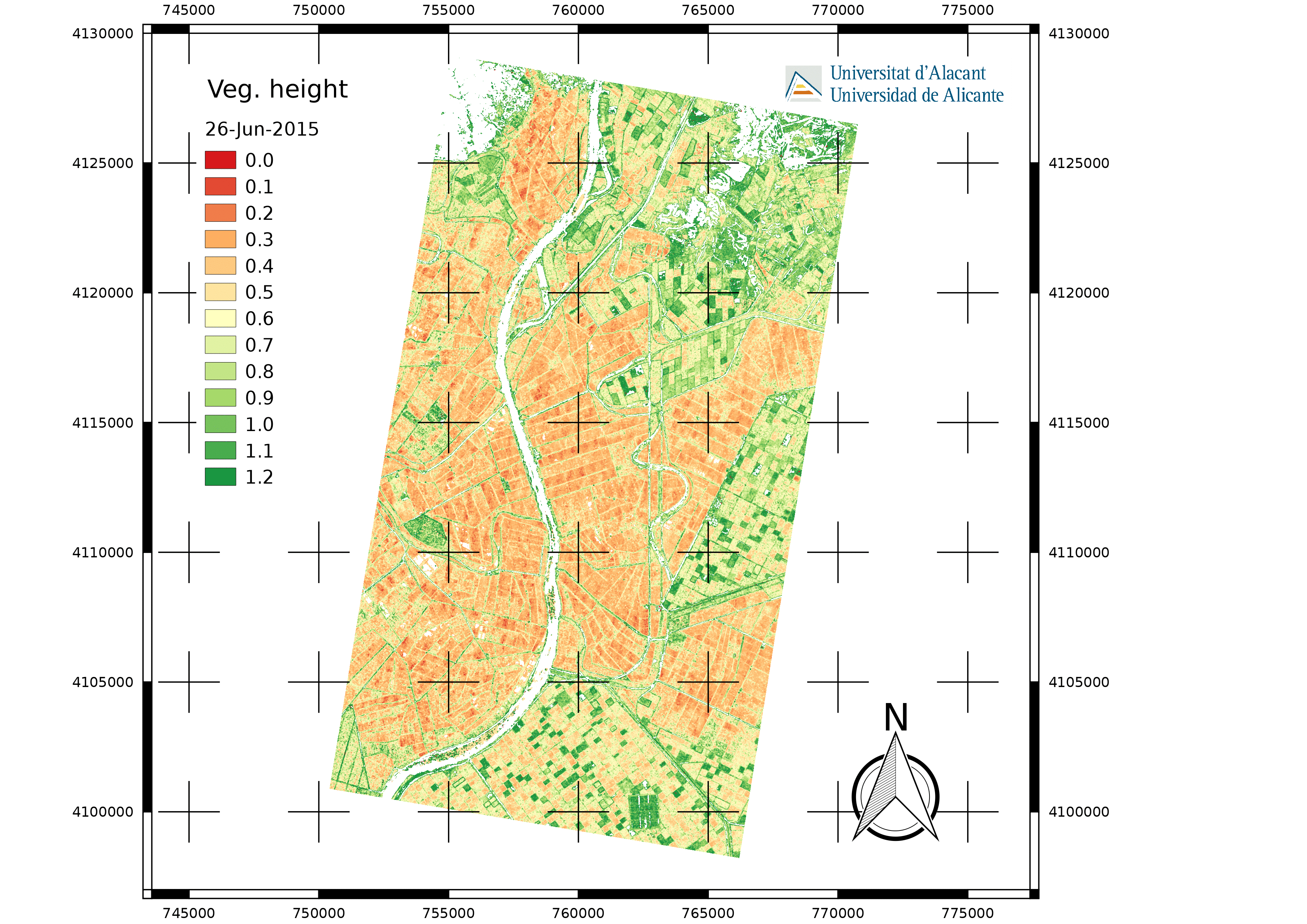
       
    • Current Research Fields:
      • Electromagnetic modelling of natural scenes, with focus on vegetation
      • Synthetic Aperture Radar processing and advanced techniques: InSAR, PolSAR, PolInSAR, DInSAR, etc.
      • Retrieval of bio- and geo-physical parameters by means of Remote Sensing. Main application domains: Agriculture and Geophysics

       
    • Participation in Research Projects:

    •  
      • Title: "Development of an Electromagnetic Scattering Model of Tree Trunks Above a Tilted Rough Ground Plane"

      • Financial Support: Joint Research Centre of the European Commission (JRC)
        Contract 11846-96-05 F1E1 ISP E
        July 1996 - December 1996
         
      • Title: "Radar Polarimetry: Theory and Applications"

      • Financial Support: European Commission, Directorate General XII: Science, Research and Development
        TMR Network ERB-FMRX-CT98-0211 [Homepage]
        April 1998 - March 2001
         
      • Title: "Development of an advanced electromagnetic simulator, based on the FDTD method, SEADIF"

      • Financial Support: Generalitat Valenciana
        Code: GV00-036-14
        January 2001 - December 2002
         
      • Title: "Design of antennas for UMTS base stations"

      • Financial Support: Spanish Ministry of Science and Technology
        Code: TIC2001-2364-C03-02
        January 2002 - December 2004
         
      • Title: "Microwave remote sensing for vegetation covers monitoring and buried structures identification"

      • Financial Support: Spanish Ministry of Science and Technology
        Code: TIC2002-04451-C02-02
        December 2002 - November 2005
         
      • Title: "DInSAR monitoring of combined land events over a complex region in the South East of Spain: active and latent landslides induced by simultaneous erosion and tectonic processes in a coastal area, and urban subsidence produced by phreatic level changes"

      • Financial Support: European Space Agency (ESA)
        Code: EO-Cat.1-2494
        December 2003 - December 2005
         
      • Title: "Digital cartography of subsidence in the low course of the Segura river (province of Alicante) by means of satellite differential SAR interferometry"

      • Financial Support: Spanish Ministry of Science and Technology
        Code: BTE2002-12456-E
        July 2004 - July 2005
         
      • Title: "Polarimetric and interferometric techniques for radar remote sensing"

      • Financial Support: Spanish Ministry of Education and Science
        Code: TEC2005-06863-C02-02
        December 2005 - December 2008
         
      • Title: "Agricultural crop monitoring by TerraSAR-X and TanDEM-X missions"

      • Financial Support: Spanish Ministry of Education and Science
        Code: HA2007-0075
        January 2008 - December 2009
         
      • Title: "Polarimetric and interferometric radar systems for Earth observation: technology and applications"

      • Financial Support: Spanish Ministry of Science and Innovation
        Code: TEC2008-06764-C02-02
        January 2009 - December 2011
         
      • Title: "PolSAR-Ap: Exploitation of Fully Polarimetric SAR Data for Applications Demonstrations"

      • Financial Support: European Space Agency
        Code: 4000104595/11/1-NB
        October 2011 - October 2013
         
      • Title: "Multitemporal and multidimensional SAR for Earth observation: processing and applications"

      • Financial Support: Spanish Ministry of Economy and Competitiveness
        Code: TEC2011-28201-C02-02
        January 2012 - December 2014
         
      • Título: "Earth Observation Operational Services based on a Dynamical Approach for Multidimensional Radar Data"

      • Financial Support: Spanish Ministry of Economy and Competitiveness
        Code: TIN2014-55413-C2-2-P
        January 2015 - December 2017
         
      • Título: "SinCohMap: Exploitation of Sentinel-1 Interferometric Coherence for Land Cover and Vegetation Mapping"

      • Financial Support: European Space Agency
        Code: SEOM-S14SCI LAND
        January 2017 - January 2020
         
      • Título: "L-Band SAR Applications and Requirements Consolidation Study"

      • Financial Support: European Space Agency
        Code: ITT AO/1-8845/17/NL/CT
        November 2017 - May 2019
         
      • Título: "Multi-sensor and Multi-scale Remote Sensing: Sensors and Applications" [TeMuSA]

      • Financial Support: Spanish Ministry of Economy and Competitiveness
        Code: TEC2017-85244-C2-1-P
        January 2018 - December 2020


    Interesting Links


    Gallery


    • Retrieved vegetation height in a rice area close to Sevilla (SW Spain), obtained by means of polarimetric SAR interferometry (PolInSAR) from data acquired by the TanDEM-X sensor.


    The German Aerospace Center (DLR) provided all the TanDEM-X data under project NTI-POLI6736.

    All details of algorithm, data and validation can be consulted in the following publication:

    J. M. Lopez-Sanchez, F. Vicente-Guijalba, E. Erten, M. Campos-Taberner, F. J. Garcia-Haro. "Retrieval of vegetation height in rice fields using polarimetric SAR interferometry with TanDEM-X data", Remote Sensing of Environment, Vol. 192, pp. 30-44, April 2017.

     
    Page maintained by Juan M. Lopez-Sanchez
    Last update: 05-Oct-2018
    Main page  Send e-mail